Wednesday, February 4, 2026

Shredpacking RockStar (Shredding + Bikepacking)

Logan Watts' Shredpacking Setup LINK

RockStar Challenge: Ultracycling? Bikepacking? or ... Shredpacking?!

First some definitions:
  • Ultracycling = competitive, non-stop, endurance cycling challenge
  • Bikepacking = all-terrain cycling + backpacking
  • Shredding = riding fast, smooth, and with style on a singletrack trail
  • Shredpacking = shredding + bikepacking with minimal ultralight gear
What approach is possible / reasonable on each of the RockStar Routes?
  • Ultracycling
    • Pave - reasonable!
    • Gravel - possible but pretty damn extreme
    • Trail - not for mortals and originally thought to be impossible. A handful of superheroes have zero-sleep / non-stop completed the RockStar Trail route.
  • Bikepacking
    • Pave - super fun!
    • Gravel - very challenging and super fun!
    • Trail - crazy hard. hauling a fully loaded bikepacking rig up all of the climbs of RockStar Trail is really really hard. People try this each year, success rate is low. And DH bliss is dampened.
  • Shredpacking
    • Pave - super fun!
    • Gravel - still very challenging and maybe even more fun than bikepacking
    • Trail - a bunch of folks use this approach. they bring enough to light overnight, sleeping somewhat comfortably. There are not a crazy amount of hours between resupply opportunities - which makes Shredpacking the Trail route maybe the most reasonable and probably the most fun unsupported Trail option.
Chris Besnia, one of the founders of Goodday + Curiosity
Chris’s preferred style of bikepacking involves minimal and ultralight gear, with a strong preference for singletrack riding, which he refers to as “shred-packing.” When I asked Chris how he packs, he summed it up with, “My goal is to go mountain biking with my gear so thoughtfully packed that it doesn’t alter the way my bike rides, my line selection, or the fun factor.” ~ Bikepacking.com

This! Sounds amazing!

Me personally - I've ridden the RockStar Trail route a few times, but it's always been supported and in stages, because I love the experience of riding the phenomenal backcountry trails that make up RockStar SO MUCH. I didn't want to give up the shred experience ... and I didn't have the gear needed for shredpacking.

Enter 2026! With a handful of choice items from Roanoke's own Mountain Laurel Designs and hopefully a custom Spacer Cradle from 
Goodday + Curiosity ... I just might go for a shredpacking Trail attempt in 2026! Stay tuned ... ;) 


  Logan Watts' Shredpacking Setup LINK


Liz Sampey's Shredpacking Setup LINK

Check out Liz's article: Shredpacking: How to Handle a Loaded Bike While Bikepacking


Wednesday, January 14, 2026

Pantani XX - Feb 7 thru 22, 2026


Facebook Page

Pantani XX is the 20th edition of this legendary annual challenge ride idea. Beginning 2/7 thru 2/22 the gate to the farm located at 5420 Markwood Rd will be open and available for parking for anyone wishing to ride one of the Pantani routes.

Grab a group of friends, pick a route, and ride! Post to the Facebook page to share when you're going to ride - others may join! Record your ride on Strava and please share pics and videos here as well!

Note: all roads included in the Pantani routes are public and can be ridden and enjoyed by anyone, on any date!

KOM/QOM Climbs:

  1. Simmons Gap to Flattop mtn Road 3.78 miles | 359 feet per mile
  2. Brokenback Mtn - full 3.83 | 413 feet per mile 

Pantani Route Collection: https://ridewithgps.com/collections/8428623 

Classic on Strava https://www.strava.com/routes/3446614522644182502 

Sunday, December 7, 2025

2/6 Dirty Gretna Ride Report

Info: The Dirty Gretna Routes Collection

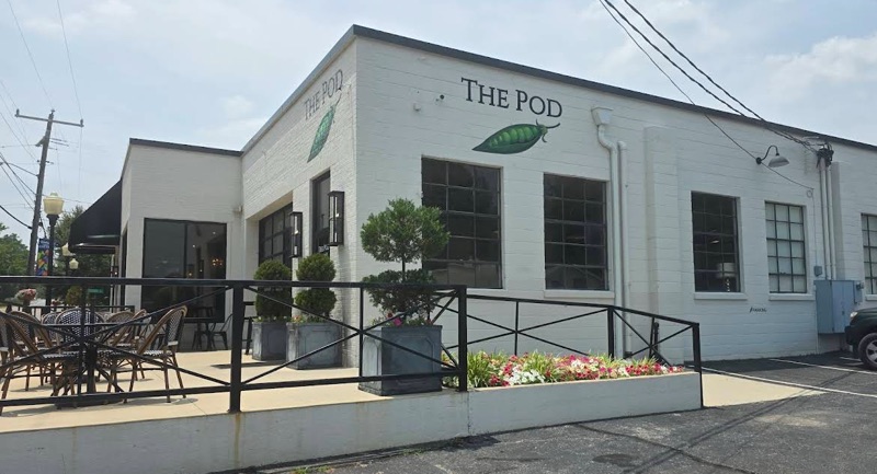
The first truly remarkable aspect of this specific Dirty Gretna is the new start / finish location - The Pod!

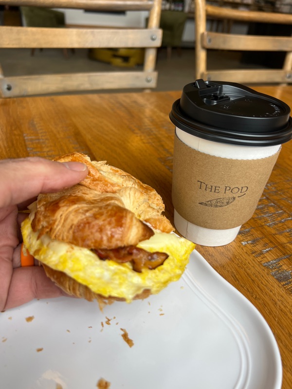
It’s more than just a wonderful coffee shop, it has lots of food and pastry options, it’s spacious with outdoor seating too and even a menu for dogs! I had a bacon, egg and cheese on a croissant breakfast sandwich and a small vanilla latte. Both were delicious!

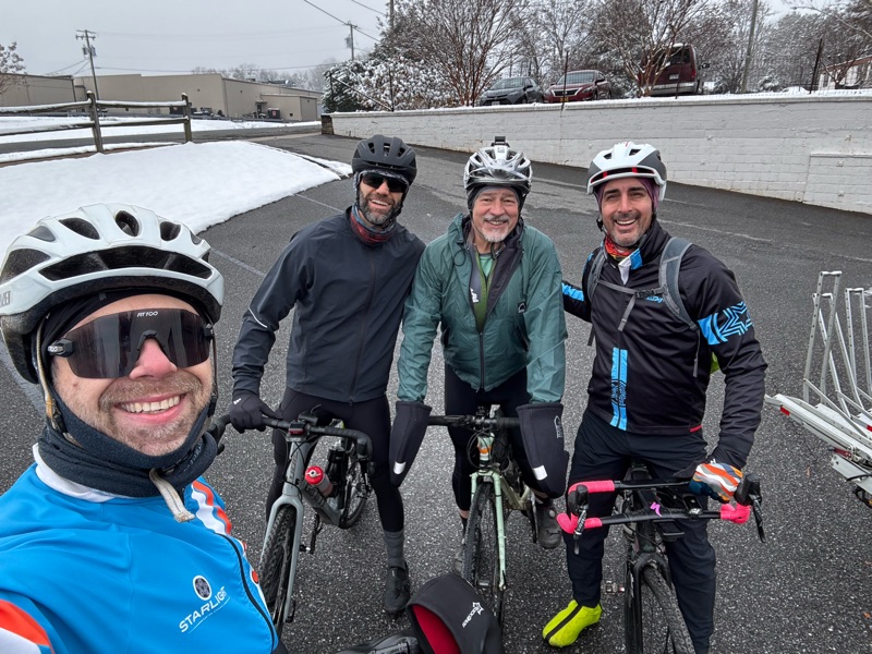
Since we announced / created this Dec 6 ride event idea on Dec 2 Paul and I were thinking it might just be the two of us on this adventure.

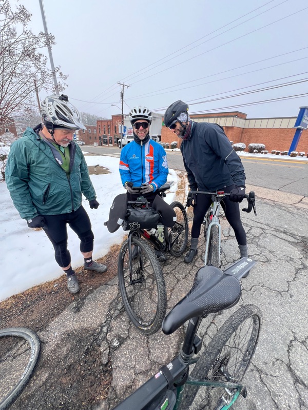
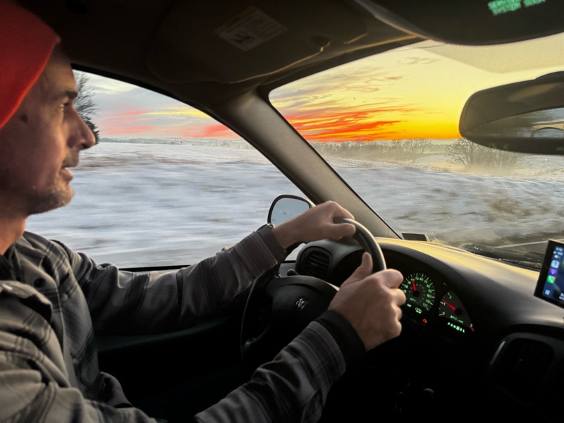
But then Martin Piedl texted that he was on his way too! So the 3 of us carpooled in the minivan ultimate. Even the drive to the ride was gorgeous.

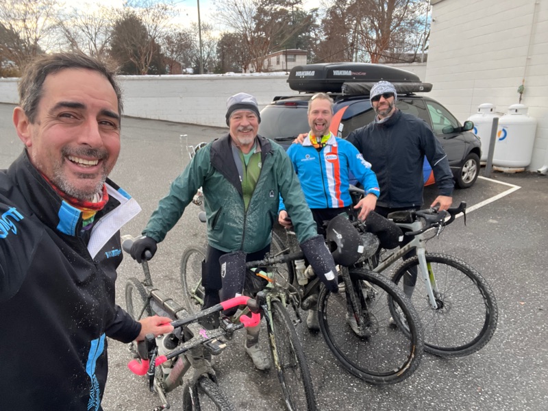
When we arrived at The Pod we saw another rider was already there - Elvir Berbić! With temps hovering in the 30s but promising to rise, we were excited and off we went!

And we made it 0.1 miles when Paul realized his ultra fancy new-to-him bike would only shift to easier gears and not back down to harder ones. We were all stranded on the side of the road while Paul opened an app on his phone and tried to diagnose and repair … yes you read that right.


His bike has 5 batteries. And it’s not even an eBike! 5!! 

One for the right shifter, one for the left shifter, one for the derailleur, one for the power meter and one for the computer.

While I don’t own a bike with electronic shifting (yet 😜) I have been in a bathroom with Ed Bridge on a frigid ride while Ed replaced the 2032 battery in his electronic shifter to remedy this exact issue.

So we turned around, rode back by The Pod to the Food Lion shopping plaza that’s right next to The Pod. We got a 2032 battery, Paul installed it, problemo fixed and … we’re off!

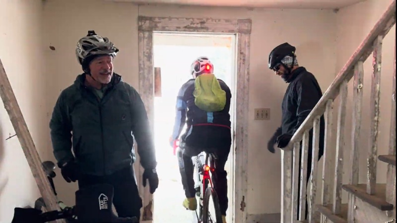
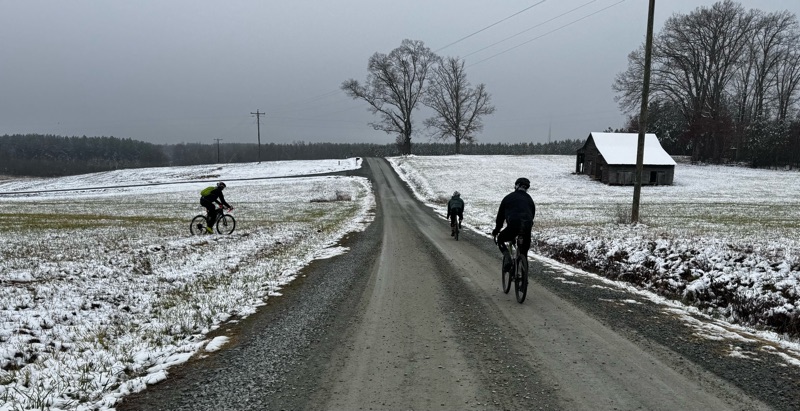
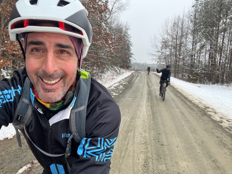
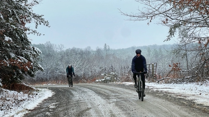
And the riding is great! It’s not too cold, we’re digging the winter wonderland views, and the next thing ya know … we’re inside an abandoned house! 

This route isn’t just a route through woods in the middle of nowhere … there’s so much to see! 

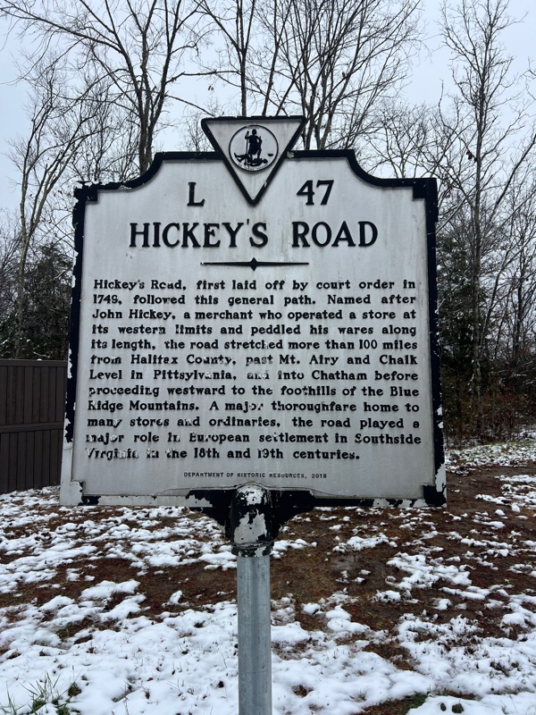
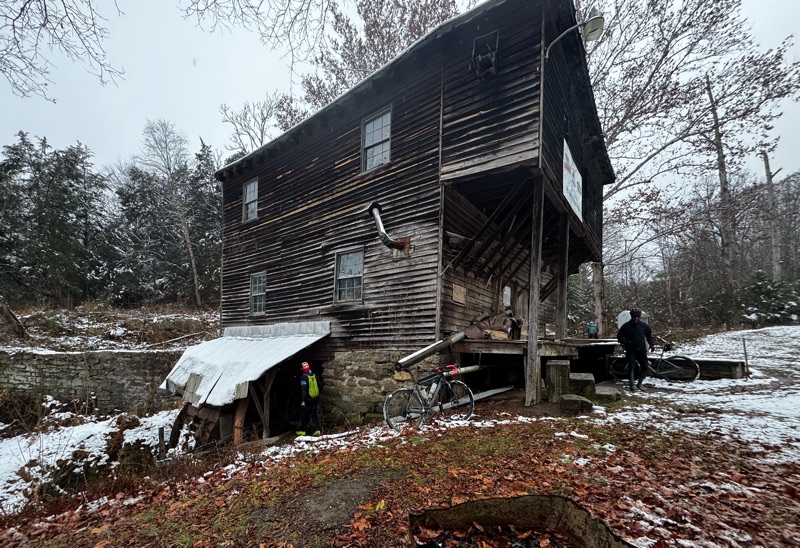
Abandoned homes and tobacco barns, miles and miles of solar farms, an old mill, historic roads:

At times we were just noodling along on top of the Coles Hill Uranium deposit! (true story)

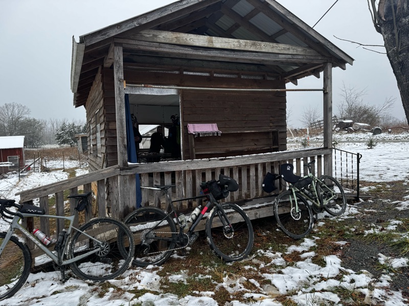
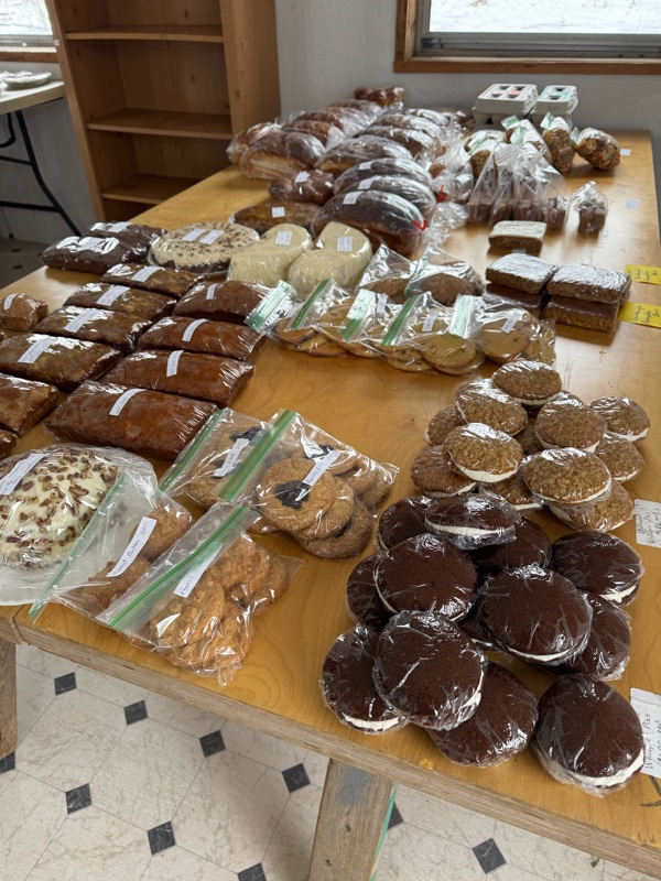
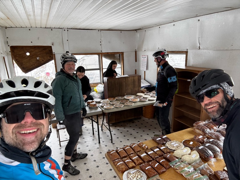
Then there was this surprise treasure of a treat:

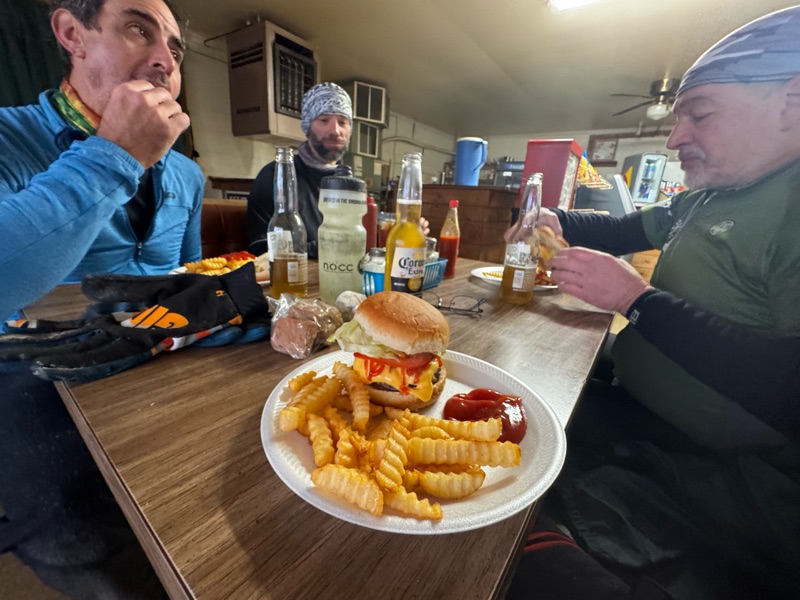
A dirt roadside shack, and inside …

We were flabbergasted happy!

Literally nearly all the miles are good miles. What does that mean? Low to no traffic, gentle rolling, dirt and rural roads. There are no big climbs. Zero. 

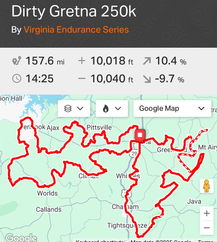
While I love climbing, it’s fun to mix it up and sometimes do rides like this! In my opinion flat rides like Croatan are OK, but routes like the Dirty Gretna collection are much more interesting and engaging. Our 50 mile route was perfection for this past Saturday, but if you wanna ride all day Dirty Gretna has got you covered:


It’s really neat how this region combines and displays the past and the future. Sites that were once plantations, now decaying tobacco barns and old abandoned homes … adjacent to expansive solar farms. German baptists with horse-plowed fields on top of vast uranium deposits!

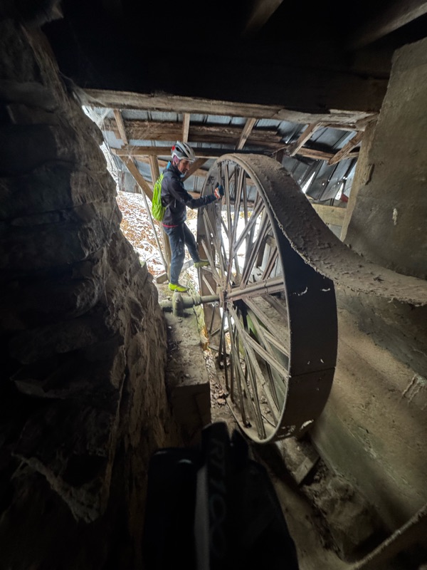
We explored the old Mill that was run (overrun?) by feral cats:

Then it was onward toward the ultimate rest stop

BB’s!!!!

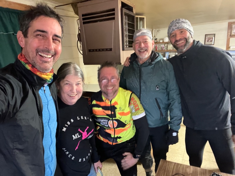
Marsha, the owner, was happy to jump into the celebration selfie with us! Elvir took his shoes off in BB’s Place, wrapped his toes in tin foil (graciously provided by Marsha) then reinstalled his shoes and … it worked! His formerly frozen toes were toasty for the final 10 miles!

Great Success! We made it back to The Pod! 

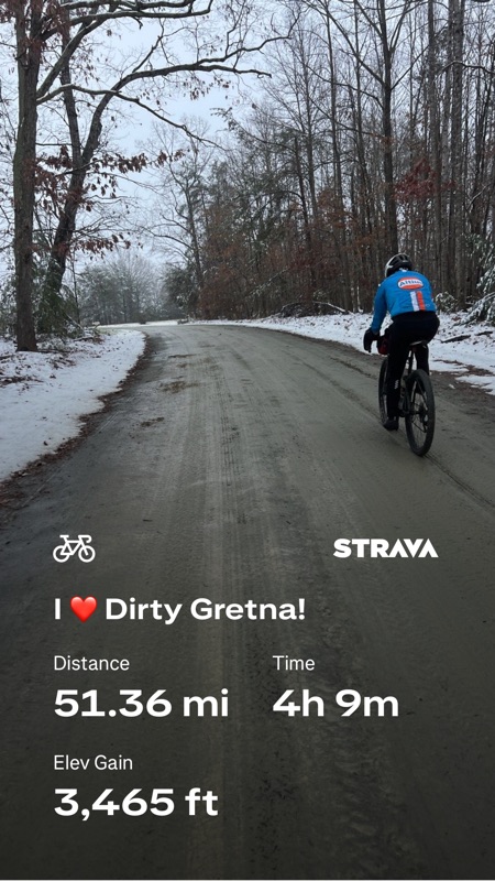
Here’s the Strava ride file: https://strava.app.link/b9jxOpjaVYb 

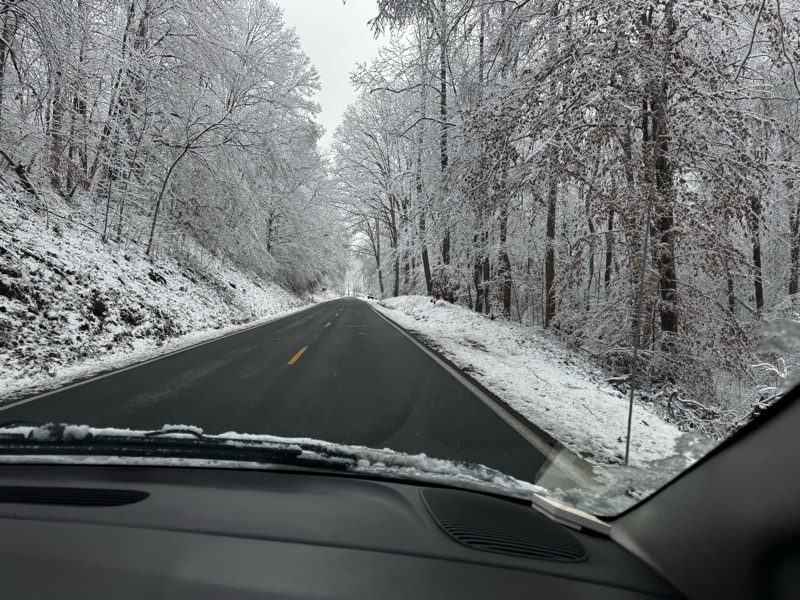
Even the easy drive home was other worldly beautiful, I mean look at this!

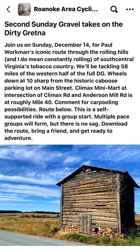
 The Virginias Endurance Series tries to host a Dirty Gretna Grand Depart annually - but the routes are well curated by adventure maestro Paul Workman, and they are fun any time of year! In fact …

This coming weekend! Beth Oakes, a Gretna native, is leading a Dirty Gretna ride!

Thanks so much to Paul, Martin and Elvir for joining / making the bicycling funs. The next VES idea is LINK


Wednesday, December 3, 2025

Dirty Gretna Grand Depart

Merry Christmas, with love, from the VES Middle Management Team!


Start / Finish: The Railroad Park, Gretna

https://maps.app.goo.gl/euyScHPkk1wkNXN59?g_st=ipc


Route: This is an easy peasy gorgeous 50 miler.

https://ridewithgps.com/routes/30988362 


Bonus = BB’s place is only open Saturdays! Their entire business plan centers around supporting Dirty Gretna Adventure Cyclists in fuel and spirit(s)! For this reason alone cyclists have travelled from virtually all points on the globe to ride a Dirty Gretna Grand Depart! Interested but don’t have a ride? Msg Rob Issem to be included in the Roanoke to Dirty Gretna carpool!


Facebook: 

https://www.facebook.com/share/17gQ3XDaWm/?mibextid=wwXIfr


Thursday, October 16, 2025

October 2025 **Coming Soon** New VES Website

Members of the VES Middle Management Team are currently working to craft and launch a new Virginia Endurance Series website! In the meantime, enjoy old content from this blog and watch Gavin watch Leila!

Tuesday, July 5, 2016

7.10.16 "The Gamut" (Ride or Run Every Trail at Carvins Cove) | VES#8

The 2016 "Gamut" adds 2 trails: Royalty and First Deck! The 2016 route will be the same as 2015 *except* that on Stage 2 after climbing Buck riders turn left and then after rolling a little ways down Brushy Mt turn right down Royalty (instead of going back along the ridge and descending the Gauntlet a 2nd time) and then bear left onto First Deck. Then left onto Horsepen to Lakeside. These fantastic trail additions make the already amazing Gamut v2015 route even better! Enjoy!

**v2015 added Trail Running** Trail runners are welcome and encouraged to participate in The Gamut! :)

"The Gamut" Facebook Event Page

v2015 Stage 1 - LINK | Stage 2 - LINK 
2015 PDF Map & Route Guide

When: 9am Sunday July 10th
Where: Carvins Cove - Bennet Springs Parking Area http://goo.gl/maps/6KASO

After the ride - The out-of-this-world-awesome Parkway Brewing Company​ is just a stone's throw from the start/finish of The Gamut, so when you've had your fill of riding on Sunday 7/10 head over Parkway! https://www.facebook.com/ParkwayBrewingCompany


v2015: STAGE 1 GPX FILE STAGE 2 GPX FILE
v2014 Additions GPX FILE
v2013 GPX FILE

How to Navigate with GPX Files
What is the Virginia Endurance Series? LINK

Roanoke is the "2013 Best Trail Town" http://www.blueridgeoutdoors.com/hiking/best-trail-town-2013-roanoke-virginia/ for one reason ... the singletrack at Carvin's Cove.

Download & Print: PDF Map & Route Guide
(11"x17" recommended)
With the sweet trail offerings continuing to expand, riding "The Gamut" at Carvins Cove (every trail in the extensive singletrack system in a single day) has become quite a challenge: 43+ miles with LOTS of climbing.

The absolutely incredible trails, and the corresponding high most mountain bikers experience while riding them, keeps the accomplishment of riding "The Gamut" seemingly within reach (though very few have people have actually done it).

The Gamut consists of 2 stages (see above map). Both stages start and end at the Bennett Springs parking area, which is perfect for refueling and restocking mid-point in the Gamut attempt. Both stages contain numerous bail out options too.

On Sunday July 10th we will meet at the Bennett Springs Parking Area http://goo.gl/maps/6KASO for the 9am start of VES #8 an attempt at riding "The Gamut".

 "The Gamut" Hall of Fame

v2015 Finishers
Cyclists
Steve Powers 6h54m
Doug Cubbage 7h0m
Ryan Fedak 7h19m
Rob Issem 7h47m
Jeffrey Cheng 7h45m
Paul Workman 8h14m
Robbie B 8h26m
Dave Williams 8h26m
Davy Hazlegrove 8h26m
Runner
Jay Finkle 11h50m

v2014 Finishers
Jeff Cheng
Sean Mallahan
Ryan Fedak
Matt Childers
Shawn Ricci
Rob Issem

v2013 Finishers
Tyler Smith
Ben Casella
Rob Issem
Paul Workman

CARVINS COVE "GAMUT" v2013 GPX FILE
 
CARVINS COVE "GAMUT" 2014 TRAIL ADDITIONS GPX FILE
Gamut v2014 adds the BRG Gauntlet Jump Line, Lakeside Trail, lower Hemlock Tunnel and the section of Kerncliff between Comet and Jacob's Drop. 


7.10.16 "The Gamut" (Ride or Run Every Trail at Carvins Cove) | VES#8

The 2016 "Gamut" adds 2 trails: Royalty and First Deck! The 2016 route will be the same as 2015 *except* that on Stage 2 after climbing Buck riders turn left and then after rolling a little ways down Brushy Mt turn right down Royalty (instead of going back along the ridge and descending the Gauntlet a 2nd time) and then bear left onto First Deck. Then left onto Horsepen to Lakeside. These fantastic trail additions make the already amazing Gamut v2015 route even better! Enjoy!

**v2015 added Trail Running** Trail runners are welcome and encouraged to participate in The Gamut! :)

"The Gamut" Facebook Event Page

v2015 Stage 1 - LINK | Stage 2 - LINK 
2015 PDF Map & Route Guide

When: 9am Sunday July 10th
Where: Carvins Cove - Bennet Springs Parking Area http://goo.gl/maps/6KASO

After the ride - The out-of-this-world-awesome Parkway Brewing Company​ is just a stone's throw from the start/finish of The Gamut, so when you've had your fill of riding on Sunday 7/10 head over Parkway! https://www.facebook.com/ParkwayBrewingCompany


v2015: STAGE 1 GPX FILE STAGE 2 GPX FILE
v2014 Additions GPX FILE
v2013 GPX FILE

How to Navigate with GPX Files
What is the Virginia Endurance Series? LINK

Roanoke is the "2013 Best Trail Town" http://www.blueridgeoutdoors.com/hiking/best-trail-town-2013-roanoke-virginia/ for one reason ... the singletrack at Carvin's Cove.

Download & Print: PDF Map & Route Guide
(11"x17" recommended)
With the sweet trail offerings continuing to expand, riding "The Gamut" at Carvins Cove (every trail in the extensive singletrack system in a single day) has become quite a challenge: 43+ miles with LOTS of climbing.

The absolutely incredible trails, and the corresponding high most mountain bikers experience while riding them, keeps the accomplishment of riding "The Gamut" seemingly within reach (though very few have people have actually done it).

The Gamut consists of 2 stages (see above map). Both stages start and end at the Bennett Springs parking area, which is perfect for refueling and restocking mid-point in the Gamut attempt. Both stages contain numerous bail out options too.

On Sunday July 10th we will meet at the Bennett Springs Parking Area http://goo.gl/maps/6KASO for the 9am start of VES #8 an attempt at riding "The Gamut".

 "The Gamut" Hall of Fame

v2015 Finishers
Cyclists
Steve Powers 6h54m
Doug Cubbage 7h0m
Ryan Fedak 7h19m
Rob Issem 7h47m
Jeffrey Cheng 7h45m
Paul Workman 8h14m
Robbie B 8h26m
Dave Williams 8h26m
Davy Hazlegrove 8h26m
Runner
Jay Finkle 11h50m

v2014 Finishers
Jeff Cheng
Sean Mallahan
Ryan Fedak
Matt Childers
Shawn Ricci
Rob Issem

v2013 Finishers
Tyler Smith
Ben Casella
Rob Issem
Paul Workman

CARVINS COVE "GAMUT" v2013 GPX FILE
 
CARVINS COVE "GAMUT" 2014 TRAIL ADDITIONS GPX FILE
Gamut v2014 adds the BRG Gauntlet Jump Line, Lakeside Trail, lower Hemlock Tunnel and the section of Kerncliff between Comet and Jacob's Drop. 


Wednesday, April 20, 2016

Donate to the VES Maps & Stickers Fund

The Virginia Endurance Series is a "FREE Endurance/Adventure Mountain Biking, Any-Road Cycling & Trail Running Event Series".

Some aspects of what we offer do cost money, and the ride organizers generally just pay for those costs themselves. Occasionally a few dollars are donated, that's awesome and that helps, but asking for donations isn't fun, and fun is what VES is all about.

So, we've created this simple donate button, so anyone can easily make a donation, at their convenience, and help with VES expenses. Thank you!

Examples of VES Expenses:
11x17 MAPS Color Printed on High Quality Paper = ~$1 each

Top Tube VES Stickers = ~ 60 cents each


Tuesday, April 5, 2016

4.17.16 Terrapin Mountain Predicament | FREE Mountain Biking & Trail Running VES Event!


Location: Jefferson National Forest
near Arcadia, VA

Ride Parking / Meet Up Location:
37.54274,-79.585101
http://goo.gl/maps/k6hVT

At 9am on Sunday April 17th mountain bike adventurers will embark on the 4th annual attempt of the Terrapin Mountain Predicament and 2016 will be the first year Trail Runners will attempt this epic too!

The AT parallels the BRP in this region so on the short sections where cyclists are enjoying the BRP runners use the AT!

TMP is widely considered among the very best VES routes and many have commented afterward that it's the best mtb ride they've ever done - anywhere. TMP also covers many of the same trails legendary ultrarunner trail race, the Terrapin Mountain 50k,

Distance options are 17, 36, 41 (full route) and there's even an 63 mile ultra-mega option (that no one has ever completed).

The the "Full" route as crafted by living legend Kyle Inman is 41 miles with over 9,000 feet of climbing. TripTik is below. | Link: Details & GPX file | CLICK HERE for a printable PDF

There are *loads* of ways to shorten this ride (3 shorter options are illustrated below) so come and enjoy as much adventure mountain biking goodness as you're up for!

This is THE map!! CLICK HERE for a printable PDF.


New is a 100+km ULTRA route 62.9 miles, +13,167 feet. This option has never been completed and is only possible for the most fit, experienced and skilled back country mountain bikers. ULTRA Route: Part 1 | Part 2 | Part 3.

Like all Virginia Endurance Series events, this is FREE! Be well fueled, super hydrated and ready to roll at 9am. Estimated ride time 6.5+ hours.

Note: If you plan to do the full epic (to the summit of Terrapin and looping back) one stream crossing is may get your feet wet, so consider bringing an extra pair of socks.


*Top Tube Frame Sticker*
Legendary Jens Voigt quote and
Virginia Endurance Series mantra.
TMP Full-Course Navigation: 41.9 miles | 9,995 feet
GPX File | How-To navigate with GPX Track Files using a Smartphone or Garmin 800/810 (Gaia GPS is Rob Issem's recommended smartphone app for GPX navigation.)

The National Geographic Trails Illustrated Map #789 (Lexington / Blue Ridge Mts) shows most of the Predicaments trails. A scanned copy, with the course marked in as best as I could, is below the TripTik.

The TripTik as written by the legend:
  • Start/finish - bridge over North Creek past campground
  • Go up dirt road to apple orchard trail, which begins with a wooden bridge.
  • Sharp Right turn to stay on the trail.
  • Take Apple Orchard trail 1.2 miles turn left to go over the wood bridge across the creek leading to Parker's Gap dead end.
  • Take Parker's Gap dirt road 2.1 miles to intersection of FS 812.
  • Right on 812 3.1 miles to BRP overlook.
  • Go straight across parkway, look for trail/fire rd on left, go around gate and continue until trail opens up into a field, cross field and 
  • Bear left (NE)out of field onto singletrack 3004 
  • Singletrack opens to grassy 2 track, Salad Hill, still 3004
  • Take 2 track several miles eventually passing through a gate. You will come back through this gate after tackling Terrapin Mt.
  • Go 1 mile to Camping Gap. Terrapin Mt trail is on right, 
  • go around gate to enter Terrapin Mt Trail, up a steeep climb for a few hundred feet, then turn left onto trail marked by yellow blaze to stay on trail (do not go straight).
  • Take trail across ridge. 
  • Gorgeous, technical, very sweet and stop to take in the stunning view off of the left side of the ridge from the rocks near the summit.
  • Trail descent becomes a boulder strewn hike. I think very skilled back country rock riders could ride virtually all of this very technical descent. Classic.
  • Trail dumps onto open road. You'll pick up a lot of speed and be having a blast. Keep your eyes peeled for trail 3009 on right, it's easy to blow by. If you reach a gate you've gone too far - trail is BEFORE gate.
  • 3009 is a nice rolling contour trail around the base of Terrapin, beautiful with easily rideable stream crossings, until you reach the one before the gate. You can stay dry while crossing this one by walking from rock to rock.
  • Go thru gate and turn right to climb along creek on fire road.
  • Eventually arrive at a brisk creek that's wide (maybe 30 feet on 3/3/2013) and 1/2 wheel deep but rideable. You can walk across and stay dry on the left but it's a little tricky.
  • After creek turn right onto trail, climbing, climbing, and then climbing.
  • After a couple miles, a hard switchback right will appear. Take that, bringing you back to Camping Gap just feet from the Terrapin Mt trail from earlier.
  • Take left back up dirt road 3004.
  • Go through gate. Shortly thereafter spot fire road on right, White Oak Ridge 3011.
  • 3011 will present a right turn option shortly thereafter. Stay left.
  • Proceed upwards for about 2 miles, eventually arriving at BRP across from giant golf ball radar dome.
  • Left on BRP to Sunset Field fire road on left, ridden earlier.
  • This time, exit field to right, SW, on Onion Mt section of the horse trail.
  • Trail will climb sharply at first. Stay alert for hard right turn once climbing eases. Trail is marked.
  • Take rough singletrack about a mile to Overstreet road and falls.
  • Take right, upwards, on Overstreet dirt road. Go 1.4 miles to BRP, mostly steep climbing.
  • Take a right, north, on BRP, 2 miles back to Sunset Field overlook on left.
  • Take Apple Orchard Falls trail from overlook down sweet, tech singletrack.
  • Upon arriving at open fire road, take a left. Fire road descends for a bit, climbing abruptly near the end.
  • Stay straight at top of steep climb onto Cornelius Creek Trail. Awesome, you are almost done!
  • Go 2 miles down Cornelius Creek trail, eventually arriving back at North Creek road.
  • Go down North Creek Road to bridge. Done.
The Terrapin Mountain Predicament Route Overview: 
(Red Arrows = Out, Blue Arrows = Return)

    If you print the TripTik and the above map you have a good chance of staying on course.

    Map of Ride Parking / Meet Up Location: 37.54274,-79.585101, http://goo.gl/maps/k6hVT

    This ~36 mile route is what most riders were able to complete in the 2013 TMP:


    North Creek and Cornelius Option Overview:


    North Creek, Sunset Field, Onion Mt, Hereformost Mt, Apple Orchard & Cornelius Trail Option Overview:

    North Creek, Sunset Field, White Oak Ridge, Apple Orchard & Cornelius Trail Option Overview:


    CAMPING
    At Start/Finish - North Creek Campground (toilets only)
    6.7 Miles from Start/Finish - Cave Mountain Lake Campground (bathrooms w showers)