For anyone unfamiliar with the Virginia Endurance Series - yes, we are 100% definitely riding tomorrow 8/10 9am.
www.viciousrandonnee.com
Some will ride the complete Suiride route (all 115+ miles and 15,000+ feet of climbing), yes regardless of the weather conditions ... and yes it will absolutely be a good time.
Of all the hundreds or thousands of rides you've done in your life, if you participate in the Star City Vicious Randonnee you will very distinctly remember it. Guaranteed.

Saturday, August 9, 2014

Tuesday, August 5, 2014
8.10.14 Star City Vicious Randonnee "Any road cycling." 6 mettle testing routes from 12 up to 115 miles!

Once a year cyclists have a chance to get their name added to the short list riders who've completed "The toughest group road ride in the history of Virginia" ... the Suiride route of the Star City Vicious Randonnée.
Climbing, adventure, dirt road climbing, astonishingly beautiful terrain ... and it's FREE!
There are 6 route options, and whether you're making history by attempting the Suiride, or enjoying the Vicious, Gran, Medio, Challenge or Prologue routes ... you are in for an incredibly beautiful and physically challenging experience. CLICK HERE FOR DETAILED ROUTE INFORMATION

Arrive at 8:30am, all rides start promptly 9am from the East Coasters Bike Shop, 3224 Brambleton Ave, Roanoke, VA 24018. 540.774.7933
Unsupported.
Cue sheets will be provided.
*FREE* To enter simply "Join" the facebook event: www.tinyurl.com/starcityvicious
Ride at your own risk.
Randonneuring is long-distance unsupported endurance cycling. A randonnée is an organized group ride, with some emphasis on speed, but it is not a race, and self-sufficiency is paramount. When riders participate in randonneuring events, they are part of a long tradition that goes back to the beginning of the sport of cycling in France and Italy. Friendly camaraderie is the hallmark of randonneuring.
)
The 15 rated climbs of the Suiride route:

Refuel Points at miles 28.8, 44.8, 65.1, 84.5, 90.7, 99.9.

)
The 15 rated climbs of the Suiride route:

SUIRIDE Route - 115.0 miles / 15233 feet - CLICK HERE FOR CUE SHEET
VICIOUS Route - 95.9miles / 12389 feet - CLICK HERE FOR CUE SHEET
Refuel Points at miles 28.8, 44.8, 65.1, 84.5.
GRAN Route - 68.9 miles / 8858 feet - CLICK HERE FOR CUE SHEET
Refuel Points at miles 28.8, 44.8, 65.1.
MEDIO Route - 38.0 miles / 5292 feet - CLICK HERE FOR CUE SHEET
Refuel Point at mile 29.1.
CHALLENGE Route - 24.8 miles / 3251 feet - CLICK HERE FOR CUE SHEET
PROLOGUE Route - 12.4 miles / 1372 feet - CLICK HERE FOR CUE SHEET

Monday, July 28, 2014
From a brutal slugfest a new elite cyclist emerges ...
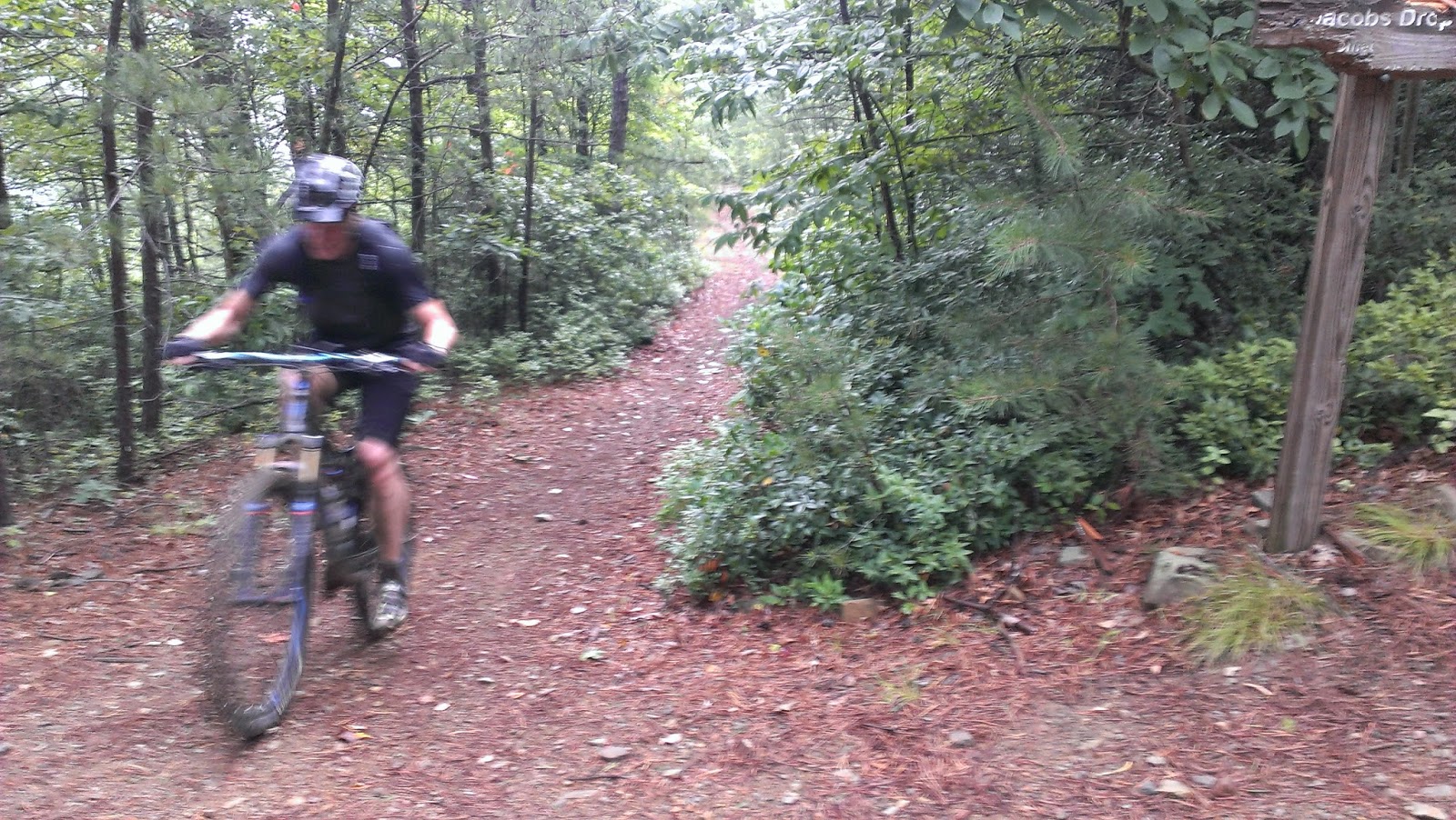
He didn't realize he was in over his head, much less how far in over his head he was ... but that didn't matter. In his mind he had distilled this situation down to a simple conviction "no matter what lie ahead, he would not deviate from the course and he would not give up". Period.
Viscerally, this was more like a 15 round boxing match than an epic mountain bike challenge ride. By round 7 Ricci had already been hurtled to the ground by the Gamut a couple of times, though there wasn't even a hint of submission. Time and again Ricci picked himself and his bike up and the battle would wage on.
Back pain and enormous fatigue were factors for Ricci by round 11 when the Gamut relentlessly pounded Ricci with the Kerncliff climb. Still, I was not surprised when Ricci, steadily walking beside his Rumblefish, crested the summit. Round 11 - Ricci.
Round 14 was Hemlock Tunnel end to end. I didn't realize it but rocks hidden beneath leaves had thrown Ricci to the unforgiving trail. I waited and waited for him at the bottom of the descent. I called out to him, but no response. Then, just as I was about to head back up, the distant sound of tire disturbing rocks could be heard. Moments later Ricci rolled up to my rear wheel with a few new scrapes. Clearly battered, Ricci somehow made it to the end of Hemlock Tunnel, but he had nothing left. His bike fell to the ground, Ricci dropped to his knees and elbows, he was now out of water too ... and the bell sounded. Round 14 - the Gamut.
Anyone watching this would have bet against Ricci even emerging from his corner to contest the final round, but rise he did.
Ricci, for the first times, spoke aloud about not being able to continue, but uttering those words seemed to free him of them. As Ricci battled along 4 Gorges it was now the Gamut who was beginning to submit to the impossible resolve of Ricci.
With a final acceleration, Ricci ascended the rocky entrance to the Bennett Springs Parking area. There were no reporters, no fans, not even a visible finish line, though the challenge and challenger both knew what had just gone down.
Everyone that showed up to this year's annual challenge of "The Gamut" (riding every trail at Carvins Cove in a single day) likely loaded their cars in the rain to drive to the start. 23 began their Gamut attempt at the designated 9am start time and a number of others started later. Of these very hearty souls, only 6 would complete the entire Gamut route 43.1 miles, 7,231 feet of climbing.
- Jeff Cheng
- Sean Mallahan
- Ryan Fedak
- Matt Childers
- Shawn Ricci
- Rob Issem
Personally, it took me 7 attempts before I completed my first full VES route in November of 2013. There are shorter options for every VES event, but the full (longest) route is intended to be challenging even for Virginia's top endurance athletes.
Welcome to the endurance cycling elite Shawn Ricci.
Welcome to the endurance cycling elite Shawn Ricci.
 |
| ... and the winner is ... |
 |
| Studies have conclusively determined that excruciating leg cramp pain always subsides after a picture has been taken and posted to Facebook. |
Friday, July 25, 2014
7.27.14 "The Gamut" (Ride Every Trail at Carvins Cove) | FREE Event #8 in Virginia's MTB Endurance Series

Where: Carvins Cove - Bennet Springs Parking Area http://goo.gl/maps/6KASO
PDF Map & Route Guide
v2013 GPX FILE
v2014 Additions GPX FILE
How to Navigate with GPX Files
What is the Virginia Endurance Series? LINK
Roanoke is the "2013 Best Trail Town" http://www.blueridgeoutdoors.com/hiking/best-trail-town-2013-roanoke-virginia/ for one reason ... the singletrack at Carvin's Cove.

With the sweet trail offerings continuing to expand, riding "The Gamut" at Carvins Cove (every trail in the extensive singletrack system in a single day) has become quite a challenge: 43+ miles with LOTS of climbing.
The absolutely incredible trails, and the corresponding high most mountain bikers experience while riding them, keeps the accomplishment of riding "The Gamut" seemingly within reach (though very few have people have actually done it).
The Gamut consists of 2 stages (see above map). Both stages start and end at the Bennett Springs parking area, which is perfect for refueling and restocking mid-point in the Gamut attempt. Both stages contain numerous bail out options too.
On Sunday July 27th we will meet at the Bennett Springs Parking Area http://goo.gl/maps/6KASO for the 9am start of VES #8 an attempt at riding "The Gamut".
CARVINS COVE "GAMUT" v2013 GPX FILE
CARVINS COVE "GAMUT" 2014 TRAIL ADDITIONS GPX FILE
Gamut v2014 adds the BRG Gauntlet Jump Line, Lakeside Trail, lower Hemlock Tunnel and the section of Kerncliff between Comet and Jacob's Drop.

How to Navigate with GPX Files
What is the Virginia Endurance Series? LINK
Roanoke is the "2013 Best Trail Town" http://www.blueridgeoutdoors.com/hiking/best-trail-town-2013-roanoke-virginia/ for one reason ... the singletrack at Carvin's Cove.
Download & Print: PDF Map & Route Guide
http://is.gd/e4bjzf (11"x17" recommended)
The absolutely incredible trails, and the corresponding high most mountain bikers experience while riding them, keeps the accomplishment of riding "The Gamut" seemingly within reach (though very few have people have actually done it).
The Gamut consists of 2 stages (see above map). Both stages start and end at the Bennett Springs parking area, which is perfect for refueling and restocking mid-point in the Gamut attempt. Both stages contain numerous bail out options too.
On Sunday July 27th we will meet at the Bennett Springs Parking Area http://goo.gl/maps/6KASO for the 9am start of VES #8 an attempt at riding "The Gamut".
CARVINS COVE "GAMUT" v2013 GPX FILE
CARVINS COVE "GAMUT" 2014 TRAIL ADDITIONS GPX FILE
Gamut v2014 adds the BRG Gauntlet Jump Line, Lakeside Trail, lower Hemlock Tunnel and the section of Kerncliff between Comet and Jacob's Drop.
Wednesday, July 23, 2014
Endurance Gear Review: Trek Remedy 9 29er - Fun and safety maximized.

"I was a pretty big fan of Trek's aluminum Remedy 29er when I reviewed it back in September of last year, with the bike surprising me with just how capable it is. Such was the chrome machine's adeptness that I didn't hesitate to put in 70km death marches with 9,000ft of climbing on a Saturday before heading to Whistler on Sunday. Sure, it wasn't the best at either task, and it isn't intended to be, but I can honestly say that it might have been the most fun for both jobs. You can't say that about many bikes, can you?"
The other very important aspect for me is that I do *not* like crashes & injuries. I'm closing in on 45, so I
.jpg)
 While the Remedy 29 is not a climbing KOM killer it is a very capable and comfortable ascender. Leave the rear suspension in Trail mode and climbing traction and stability are incredible. You'll find yourself riding technical trail climbs that you've never cleaned before and you can comfortably climb and climb and climb ... staying on your bike more, pushing your bike less.
A truly unexpected and fantastic surprise for me was how well the Remedy 29 rides tight switchbacks - especially uphill. The bike turns back on itself with stability and control like no 29er I've ridden.
Tire clearance is absolutely outstanding on the Remedy 29. When Schwalbe Nobby Nic 2.35s are mounted

 to American Classic Wide Lightning rims (look for a full review of these wheels in the coming weeks) the casing width measures a massive 2.407 inches and the Remedy 29 easily accommodates these large aggressive tires with gobs of room to spare!
Since Trek's Remedy 29 introduction earlier this year, the rave reviews and its popularity speak volumes for the bike, but I highly recommend taking one for a test ride at your local dealer or during a Trek Factory Demo Day near you.
Bottom Line: The Trek Remedy 29 enables people to ride longer with more comfort and ride technical terrain with more confidence and safety ... which conflates into very high levels of mountain biking fun!
For 2015 Trek is adding lighter carbon framed models to the Remedy 29 lineup. Click here for a preview from Pinkbike.
Wednesday, June 18, 2014
6.22.14 Big Schloss Epic | FREE Event #6 in Virginia's MTB Endurance Series


36.49 miles / 6596 feet of climbing
This incredible VES route features the northernmost section of the VA MTB Trail http://virginiamountainbiketrail.com/ and finishes with the legendary Big Schloss downhill.
Start Time: 9am
Start Location: Little Stoney Creek 571 Trailhead on Route 92 http://is.gd/2jEG7p
[Alternate Start Time / Location = 7:45am / Wolf Gap Campground. It's a 5 mile sweet singletrack ride from Wolf Gap to the official start location above. Map: https://www.dropbox.com/s/cvaprzqkt3ynv1i/camp_to_start.jpg]

GPX File:
2014 Drawn File: https://www.dropbox.com/s/8fazojlutxrj2d4/Big_Schloss_Epic_v2014_%28Drawn%29.gpx
(Note: this GPX includes the additional trail sections to and from the Wolf Gap campground. Drawn GPX files are not as accurate as actual GPX data files.)
2013 Route *DIFFERENT from 2014* Actual (Ridden) GPX:
Note: this actual 2013 GPX is a good navigational reference for portions of the 2014 route.
https://www.dropbox.com/s/p2923rxy2b78i88/BigSchloss_v2013_ridden.gpx
2013 Strava: http://www.strava.com/activities/957623062013 Route Description: https://www.dropbox.com/s/3plnado5l004783/VES%20%239_Big_Schloss_Map_11x17.pdf
 CAMPING: Wolf Gap Campground. Campers wishing to pedal to the start from the Wolf Gap Campground simply ride up the 1004 Mill Mt Trail for 2.75miles to the 415 Big Schloss Cutoff DH and downhill to the ride start. Riders also have the option of taking the short spur trail to check out to Big Schloss proper 1004A! Info on Wolf Gap Campground: LINK
Critical Note: The Big Schloss Epic route is VERY challenging from start to finish. **Please come well prepared.** Bring a water filter, plenty of food, bring all gear needed for basic bicycle repairs and a first aid kit (minimally, something like this http://youtu.be/YIZLMouV3j4). In 2013 an exceptional group of more than 20 cyclists attempted a variation of this route, moving time was roughly 7 hours, elapsed time was 9 hours ... and it was an awesome day of epic backcountry adventure mountain biking!!
3 Shorter Options. All start and end at the same location:
9.5mile/1920feet:


20mile/3928feet:


27mile/5510feet:


Monday, May 5, 2014
6.21.15 SVBC Project Showcase - Lookout, Wolf & Narrowback | FREE Event #5 in the Virginia Endurance Series

(If you have pictures to add to this DropBox folder please email robertissem@gmail.com and I'll add you as a contributor.)
Date: Sunday June 21, 2015
Start Time: 9am
Start Location: Wild Oak Trailhead Parking http://goo.gl/maps/bZXEM
PDF Map w Cue Sheet (ideally printed on 11x17 paper): LINK
Mark your calendars, this VES features 3 route length options (13, 30 & 43 miles) and some of the very best mountain biking anywhere!
Shenandoah Valley Bicycle Coalition (SVBC) continues to make a huge impact on trails all over the Harrisonburg, VA region and particularly in the George Washington National Forest. Through SVBC's model partnership with the USFS, some amazing results have been produced. SVBC's work in the North River District of GWNF is ongoing, with the club maintaining even the remotest of trails. Also, monetary contributions secured through the RTP and other sources have funded projects a grand scale and optimized the riding experience.
Great article on the riding in this region of VA: Virginia's new mountain biking mecca | GrindTV.com
Support the Shenandoah Valley Bicycle Coaliton Recreational Trails Program! from Shenandoah Bicycle on Vimeo.
3 Length Options: All Start at the Wild Oak Trailhead Parking area.
- Lookout Mountain Loop (13.1mi | 1681ft):
- http://www.mtbproject.com/trail/3770932/lookout-mountain-loop
- ALL ride lengths start together (just like we did at the Terrapin Mountain Predicament) and ride the Lookout Mountain Loop.
- Check out this video: http://vimeo.com/adventureseen/lookout
- Lookout + Narrowback (30.1 mi | 3800ft):
- http://www.mtbproject.com/trail/3771756/narrowback-mountain-loop
- After completing the Lookout Mountain Loop, 30 and 43 mile riders will restock at their cars, then head north on Tillman Rd toward Narrowback, ride the Narrowback Mountain Loop and then finish with an easy downhill back to the Wild Oak Parking.
- Lookout + Wolf + Narrowback (43mi | 5800ft):
- http://www.mtbproject.com/trail/4296723/wolf-ridge-loop
- From Lookout, as riders head north on Tillman Rd they pass the Dog Graveyard to 924 Briery Branch Rd, do the Wolf Ridge Loop, then right onto Tillman Rd, ride the Narrowback loop and finish with an easy downhill back to the Wild Oak Parking.


What does it do?
- Complete maps, vertical profiles, descriptions, and photos for every Ride and Trail
- Send a Ride or Trail to the phone, and it will be there next time you open the app
- Sync your To-Do list & Check-Ins
- Out on your ride, your location appears right on the trail - you will never get lost!
- Works with no cell signal, including all mapping and geolocating features


Subscribe to:
Posts (Atom)