

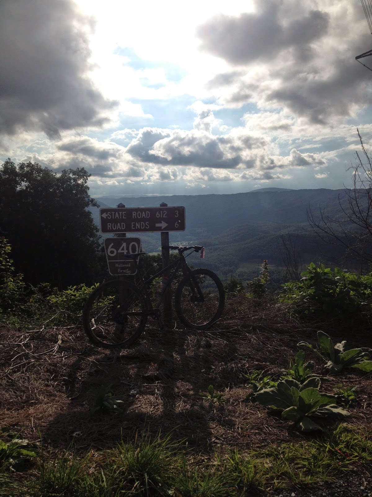
view from Big Walker Mtn. over I77 tunnel thru the mountain!
This route has been one that I have dreamed of for many, many years. I would say well over 10 years! What has made this route impassable previously was the trail overgrowth of the Big Walker Mountain Trail - aka Monster Rock. Many folks chipped in with clean up, but probably greater than 80% of this trail was hand cleared by two brothers, Bill and Dave (aka Red). These guys dedicated so much time to clearing this AMAZING ridge trail. So, when I heard that it was cleared I knew we had to go do this fatty! and of course give them some creds even though they probably don't want it, just want people to come ride!
Date: 12-6-15
Start Time is 9:00A.M (25, 40, 45mile Options - Details Below)(1pm / 23mile Option: For those who can't make the 9am start or want something shorter, or just easy. Can meet up at the country store on Rt 52 at the top of the mountain. Main group will be through there around 1pm or thereabouts. Click Here for a Map of this 23 mile / 1pm Start Option) 1pm Start Location https://goo.gl/maps/qJNdzFXYRTr (not the same as the 9am start location - info below)9am Start Location: The ride will start and finish at the Stony Fork Campground in Wythe County. The website link below will get you there. Google Map: https://goo.gl/maps/J5jN3gj5h142
Web site for start: http://www.fs.usda.gov/recarea/gwj/null/recarea/?recid=73977&actid=29
The campground is at the base of our finishing trail, Seven Sisters. One of the best downhills you will experience, ever. Here is the link: http://www.virginia.org/Listings/OutdoorsAndSports/SevenSistersTrail/
ROUTE IS HERE! http://www.mapmyride.com/routes/view/871360459
*Click Here to View Hi-Res Map Images*
Summary: We will be riding from the campground towards Crawfish Valley, climbing Big Walker and traversing the full ridge. This will put us out at Rt. 52 at the Bik Walker Lookout and a fine location for some fantastic sweets, breads and other treats. From there we continue on dirt across the ridge and over I77 tunnel to Turkey trail (hold on tight!). Back to SR 717 (same road campground is on) turn right and roll a few miles of pave to the start of the Seven Sisters grand finale!
 |
| 25 Mile 9am Start Hi Res Image = https://www.dropbox.com/s/g1hlf5muc53twpw/25%20mile.jpg?dl=0 |
 |
| 40 Mile 9am Start Hi Res Image = https://www.dropbox.com/s/yjseq4zhzfj8sqp/40%20mile.jpg?dl=0 |
 |
| 44 Mile 9am Start Hi Res Image = https://www.dropbox.com/s/ezjlsir1yftftv0/43m.jpg?dl=0 |
 |
| 23 Mile / 1pm Start Option Hi Res Image = https://www.dropbox.com/sh/3czhe504ld9hct5/AAAWwFC2Jx7CFRujslSMb0BKa/23m%201pm%20Start%20Option.jpg?dl=0 |


