

Here is the Berfday Ride! a two county tour, from Bland to Giles and back
Date: March 1st. 2015
Start Time is 7:00A.M
Starting location directions:
From I-...77: Near Wytheville, take the Bastian Exit (Exit 58) and go west toward Bastian. Take a left on US 52, then an immediate right on Grapefield Road (SR 614). Travel 3½ miles to the day use area on the left, just past Camp Roland.
Web site for start: http://www.fs.usda.gov/
Summary:
We will be riding from the Wolf Creek Day Use Area climbing up the backside of Round Mtn. (trail Corkscrew). After a short tour of this area we will travel East towards Dismal Falls in Giles County via forest service roads and a rutty/muddy jeep ridge road known as Hogback. After a short tour of the Dismal Area we have a convenience store with a deli! The return path will parallel Hogback, but take a much easier and mostly paved path back on Kimberling Creek to route 52 and our final push back to the cars.
Link below (GPX File) for the route we completed last year (with a few mistaken tour turns that will not be featured this year:). The route was recorded using a Garmin device thing so uploading a copy should get you through the route if that is your thang. It's not mine and the fancy device was not on my bike so that is all I can provide for further detailed questions. Rob can help with that though if you have questions.
http://ridewithgps.com/
The ride will start with Round Mtn. area and include my best selection of this area (Corkscrew, Goose, Meadow, Chimney, Genesis, Wheels Up, Salamander, Beauty, Goose, South Fork...in that order!). If you are not up for the full pull I hope to have some tour guides for just this area.

After Round Mtn. we ride mostly dirt to Dismal Falls Area. A map of the area with trails can be found on the Nat Geo Map #787. We will be entering from the 'backside' of the area via Pumpkin Center (SR609 & SR677 both paved back country roads) after Hogback and proceeding towards Nobusiness Creek (SR 677 to 606, dirt). From there we make are way to the top of Sugar Run Mountain and will drop in on Ribble Trail (40 on map). This is the approximate mid point of the ride.

REFUEL OPPORTUNITY - SR201 will be our dirt road exit of this area and a convenience store with a deli is at the bottom of the mountain (soon as we hit pavement look left and you can't miss the store). After fueling up we ride mostly pavement on some nice backcountry roads through Kimberling Creek area (paralleling/backtracking just below Hogback).
The original "plan" last year was to ride back the way we came from Round Mtn., climb up from Suiter and drop back down Corkscrew. Time and major storms rolling in convinced us to take the route we did (more pavement) after crossing back over I77 (i.e. drop Rt 52 and back out 614 to cars). Full route (more dirt) is an option...we'll see what happens.
Here are some pics of previous tours/rides in the area to get the sike going!


Pic of my #787. Ignore the handwriting or be ready for an ADVENTURE.
REFUEL OPPORTUNITY - SR201 will be our dirt road exit of this area and a convenience store with a deli is at the bottom of the mountain (soon as we hit pavement look left and you can't miss the store). After fueling up we ride mostly pavement on some nice backcountry roads through Kimberling Creek area (paralleling/backtracking just below Hogback).
The original "plan" last year was to ride back the way we came from Round Mtn., climb up from Suiter and drop back down Corkscrew. Time and major storms rolling in convinced us to take the route we did (more pavement) after crossing back over I77 (i.e. drop Rt 52 and back out 614 to cars). Full route (more dirt) is an option...we'll see what happens.
Here are some pics of previous tours/rides in the area to get the sike going!
A view of Round Mtn. from Hogback
Another view of Round Mtn. different day; from Hogback
...this could be possible--pucker up buttercup

pleasant amenities

Dismal Falls

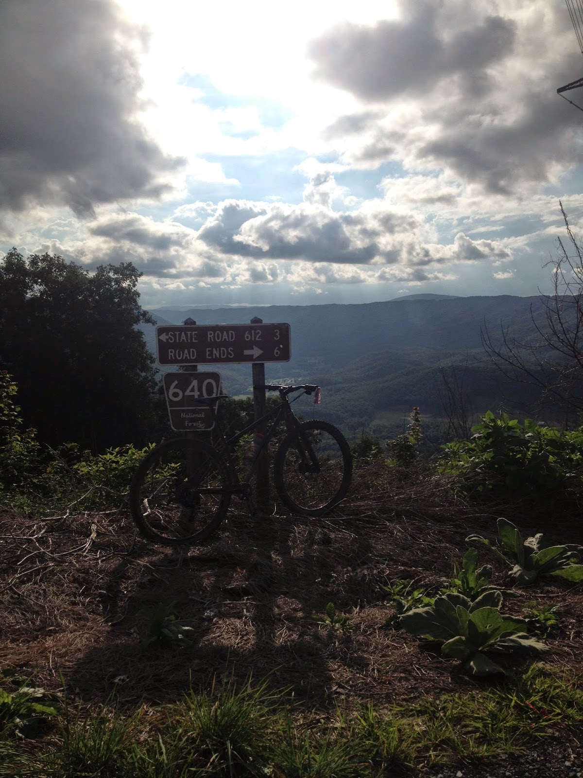
mountain signs

this is why we shall Linger Not!
cheers. cya out there.
hatchett
No comments:
Post a Comment